Professional Drone Services
in San Angelo & West Texas
Comprehensive FAA-certified aerial solutions for real estate, industry, and infrastructure across the Concho Valley and beyond.
Three Core Drone Services
Each service has its own dedicated page with full details, deliverables, and FAQs. Every project is flown on our enterprise-grade DJI Matrice 4E. Explore the service that fits your project, or request a quote below.
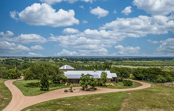
Real Estate & Ranch Photography + Video
Aerial photography and video for real estate listings, ranches, land sales, and commercial properties across West Texas.
Learn more →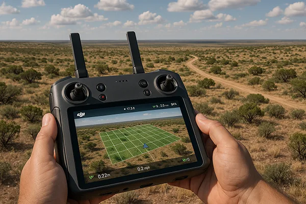
Aerial Mapping, 3D & Oblique Capture
Orthomosaic maps, textured 3D models, and five-direction oblique capture that gets building facades and structures, not just rooftops, for land development and planning.
Learn more →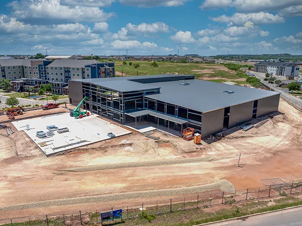
Construction Monitoring
Regular aerial progress documentation, volumetric data, and time-lapse video for construction sites throughout the Concho Valley.
Learn more →Request a Free Quote
Tell us about your project and we'll get back to you with a detailed quote. Serving San Angelo and all of West Texas.