Aerial Mapping & Photogrammetry in San Angelo & West Texas
Concho Valley Aerial Solutions provides FAA Part 107 certified aerial mapping and photogrammetry throughout San Angelo and West Texas, producing orthomosaic maps, textured 3D models, and five-direction oblique capture for land development, planning, and construction projects.
Mapping Data Ready for GIS & CAD
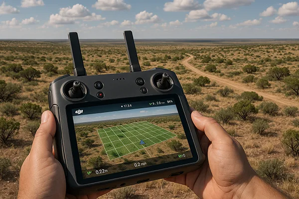
We fly the DJI Matrice 4E, an enterprise mapping platform with a 20 MP mechanical-shutter camera, an onboard RTK module, and a laser rangefinder. Flying structured grid and oblique patterns, it captures hundreds of sharp, distortion-controlled photos that are processed into detailed visual data, delivered in formats that plug directly into the GIS and CAD software your engineers, surveyors, and planners already use.
- High-resolution orthomosaic maps
- 3D models and elevation visualizations
- Oblique and orthophoto capture for full site coverage
- Point cloud generation
- Volumetric estimates for earthwork planning
- As-built visual documentation
- Land development and planning support
True 3D Models from a Single Flight
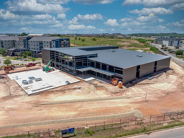
Straight-down mapping shows a site's footprint, but it misses everything vertical. The Matrice 4E's smart oblique capture photographs your site from five directions in one automated mission: four angled views plus straight down. That means building facades, tank walls, pit faces, and structure elevations all make it into the model, not just the rooftops.
With Smart 3D Capture, we rough in a 3D model on the controller in the field, and the aircraft auto-plans the detailed capture routes from it. The result is a textured 3D model of your site or structure you can orbit, section, and share, built from a single visit.
- Five-direction oblique capture in one automated mission
- Textured 3D models of buildings, structures, and terrain
- Facade and elevation coverage that ortho-only flights miss
- Shareable models for planning, marketing, and documentation
Built for Land Development & Infrastructure Work
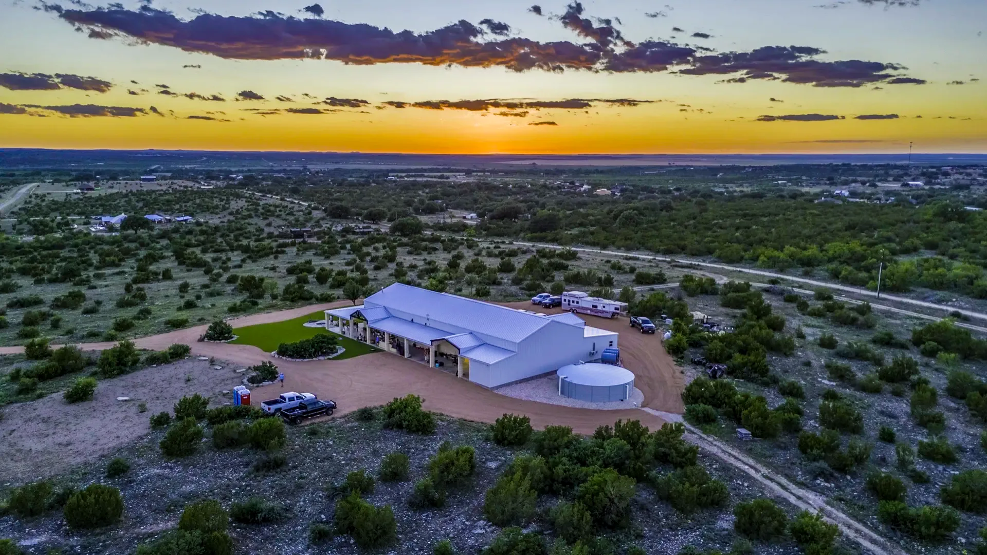
Aerial mapping is used by land developers planning a new subdivision, engineers tracking earthwork on a job site, ranch and landowners who want repeatable aerial imagery of their terrain, and municipalities documenting infrastructure. If your project needs detailed, repeatable aerial data instead of just photos, this is the service built for it.
Mapping flights are typically planned as a single site visit rather than a recurring engagement, though repeat flights are common on longer land development or construction timelines to track changes over time.
See how this pairs with construction monitoring →CVAS provides aerial mapping imagery and visualization products. We do not provide land surveying services; deliverables requiring a licensed surveyor are referred to or performed under a Texas Registered Professional Land Surveyor (RPLS).
Where Aerial Mapping Gets Used
Land Development
Orthomosaic imagery and site visualizations before breaking ground on a new subdivision, road, or utility corridor.
Ranch & Land Management
Aerial imagery, terrain visualization, and water feature documentation for landowners across the Concho Valley.
Infrastructure Documentation
As-built visual records and site condition documentation for municipalities, utilities, and engineering firms.
From Flight to Data
Consultation
We discuss your site, the deliverables you need, and how the imagery will be used.
Flight Planning
We plan a grid flight pattern and check airspace and weather before scheduling.
Data Capture
The mechanical shutter captures sharp overlapping images at half-second intervals, covering large sites in a single flight.
Processing & Delivery
Images are processed into maps, models, or point clouds and delivered in your format.
Aerial Mapping & Photogrammetry FAQ
What is drone photogrammetry?
Photogrammetry is the process of stitching hundreds of overlapping aerial photos into a single map, 3D model, or elevation surface. It produces orthomosaic imagery, 3D models, and volumetric estimates for planning purposes, without mobilizing traditional survey crews for an early look at a site.
What file formats do you deliver mapping data in?
Deliverables are provided in standard formats compatible with common GIS and CAD software, including GeoTIFF orthomosaics and LAS point clouds. We can prepare the data in the format your engineer, surveyor, or planner needs before the flight.
What can drone mapping imagery show?
Image detail depends on flight altitude and camera resolution. We'll walk through what the imagery can show for your specific project, and where a licensed land surveyor is needed for authoritative measurements, before scheduling a flight.
What aircraft do you fly for mapping?
We fly the DJI Matrice 4E, an enterprise mapping platform with a 20 MP mechanical-shutter wide camera, 48 MP telephoto cameras, a laser rangefinder, and an onboard RTK module. The mechanical shutter captures sharp images at half-second intervals, and smart oblique capture covers a site from five directions in one mission.
Can you produce 3D models of buildings and structures?
Yes. Using five-direction smart oblique capture, we photograph a site from four angled views plus straight down in one automated mission, so building facades and vertical faces are included in the model, not just rooftops. The result is a textured 3D model you can orbit, section, and share for planning, marketing, or documentation.
Do you provide volumetric and earthwork calculations?
Yes. We generate stockpile and cut/fill volumetric calculations from aerial data, which is useful for earthwork tracking, material inventory, and construction planning.
What areas do you serve for aerial mapping?
We are based in San Angelo and provide mapping and photogrammetry services throughout the Concho Valley and West Texas, including Midland, Odessa, Abilene, Big Spring, Sonora, Eldorado, and Mertzon.
Explore More Drone Services
Real Estate & Ranch Photography + Video
Aerial photography and video for real estate listings, ranches, and land sales.
Learn more →Construction Monitoring
Regular aerial progress documentation and volumetric data for construction projects.
Learn more →Get Your Project
Mapped
Request a free quote for aerial mapping or photogrammetry anywhere in San Angelo and West Texas.