Construction Drone Monitoring in San Angelo & West Texas
Concho Valley Aerial Solutions provides FAA Part 107 certified construction drone monitoring throughout San Angelo and West Texas, delivering regular progress documentation, volumetric data, and visual records that keep clients, contractors, and stakeholders informed at every stage.
Progress Documentation You Can Track
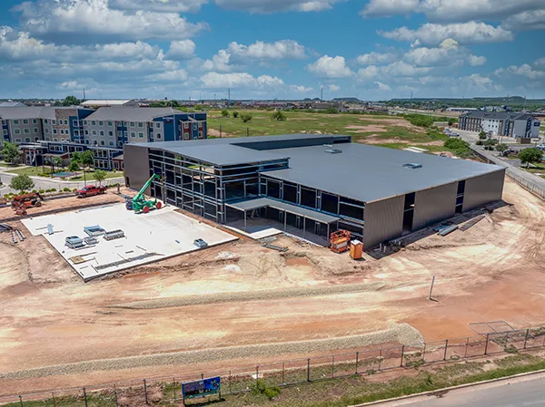
Recurring aerial flights keep a visual and data record of your job site from groundbreak to completion. Instead of relying on scattered ground photos, you get consistent, repeatable aerial documentation that makes progress, discrepancies, and safety issues easy to spot. Our DJI Matrice 4E carries 48 MP telephoto cameras that resolve fine detail from hundreds of feet away, so we can document elevated work, rooflines, and crane picks without interrupting the crew below.
- Regular progress documentation flights
- Stockpile and volumetric estimates
- Telephoto close-ups of elevated and hard-to-reach work
- Oblique 3D site models at key project milestones
- Site safety and compliance overviews
- Time-lapse video production
- Before and after comparison imagery
Built for Contractors, Owners & Stakeholders
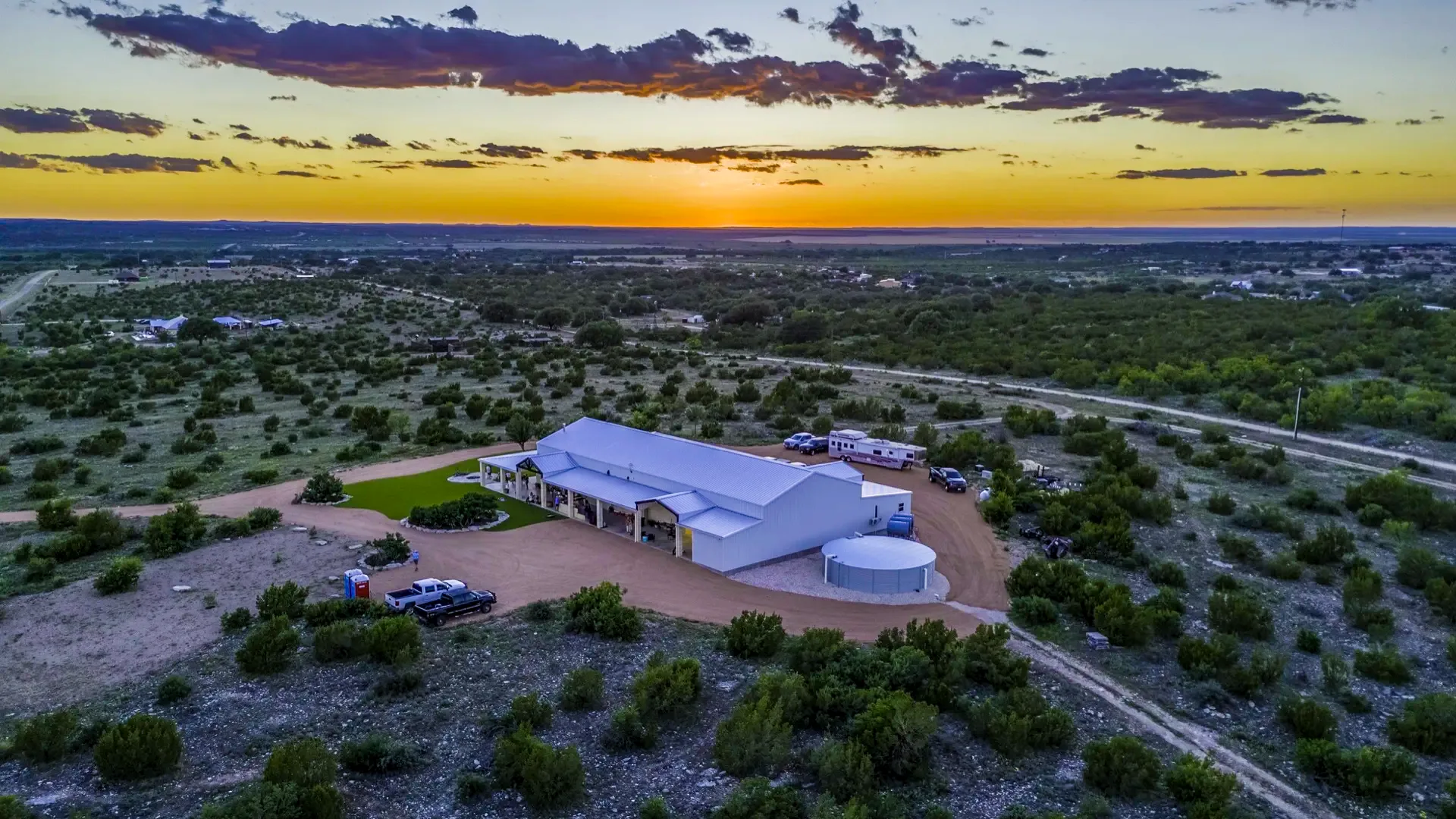
Construction monitoring is used by general contractors tracking multiple subcontractors, project owners who need remote visibility into progress, lenders requiring documented milestones, and developers building a visual record for marketing and future reference. If your project needs a reliable, dated record of progress, this service is built for it.
Because every flight covers the same site from consistent angles, the resulting archive doubles as a searchable project history, useful long after the build is complete for warranty questions, future renovations, or simply documenting the work that was done.
See how this pairs with aerial mapping →Recurring Monitoring We Run Today
Commercial Church Construction
Recurring monthly aerial documentation of a ground-up commercial church build, captured from consistent angles each visit for the owner and project team.
[Client name pending permission to publish]
Electric Cooperative Substations
Ongoing aerial monitoring of substation construction projects for a regional electric cooperative, documenting progress across multiple sites.
[Client name pending permission to publish]
A Documented Record Protects Everyone
Construction projects move fast, and disputes over what was completed and when can be costly to sort out after the fact. Dated aerial documentation gives contractors, owners, and lenders a consistent visual record they can point back to, whether that is confirming a milestone was met, tracking material deliveries against a stockpile estimate, or simply keeping remote stakeholders informed without requiring a site visit.
Beyond the practical record-keeping, a well-documented build also becomes a marketing asset. Developers and contractors regularly use progress photography and time-lapse footage in proposals, case studies, and social media to show prospective clients the quality and pace of their work.
From Kickoff to Completion
Consultation
We discuss your project timeline, milestones, and how often you need updates.
Flight Schedule
We set a recurring flight schedule that matches your project's pace.
Documentation
Each flight captures consistent aerial imagery and data from the same vantage points.
Reporting
Imagery, volumetrics, and time-lapse footage are delivered on your schedule.
Construction Monitoring FAQ
What is construction drone monitoring?
Construction drone monitoring is regular aerial documentation of a job site throughout the build, giving contractors, owners, and stakeholders accurate visual records and volumetric data to track progress against schedule and budget.
How often should progress flights happen?
It depends on the project timeline and how often stakeholders need updates. Many clients schedule flights on a recurring weekly, biweekly, or monthly basis, with additional flights around major milestones.
Do you provide stockpile and volumetric measurements?
Yes. We calculate stockpile and cut/fill volumes from aerial data, which is useful for tracking material inventory and earthwork progress against your project estimates.
Can you produce a time-lapse video of the project?
Yes. Recurring flights from the same position can be compiled into a time-lapse showing the full build from groundbreak to completion, useful for marketing, stakeholder updates, and project archives.
What areas do you serve for construction monitoring?
We are based in San Angelo and provide construction monitoring throughout the Concho Valley and West Texas, including Lubbock, Midland, Odessa, Abilene, Big Spring, Sonora, Eldorado, and Mertzon.
Explore More Drone Services
Real Estate & Ranch Photography + Video
Aerial photography and video for real estate listings, ranches, and land sales.
Learn more →Aerial Mapping & Photogrammetry
Orthomosaic maps, point clouds, and elevation data for land development and planning.
Learn more →Keep Your Project
on Track
Request a free quote for construction monitoring anywhere in San Angelo and West Texas.