
West Texas
From Above
FAA-certified drone photography, mapping, and aerial services for the Concho Valley and all of West Texas.
Professional Drone Services
for West Texas
From real estate listings to infrastructure assessments, we deliver precision aerial data throughout San Angelo and the Concho Valley.
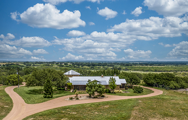
Real Estate Photography & Video
Cinematic aerial photography and video that makes listings stand out. Ideal for residential, commercial, and acreage properties throughout San Angelo and West Texas.
Learn more →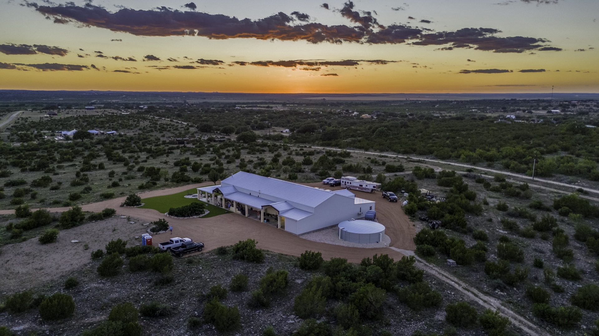
Aerial Mapping & Photogrammetry
High-precision orthomosaic maps, digital elevation models, point clouds, and topographic data for land development, planning, and construction projects.
Learn more →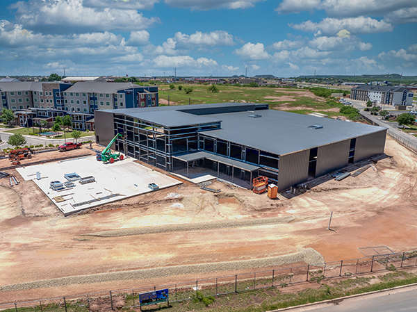
Construction Monitoring
Regular aerial progress documentation for construction sites, providing clients and stakeholders with accurate visual records and volumetric data.
Learn more →West Texas From
Every Angle


Full Photo Gallery
We have hundreds more aerial photos from across West Texas. Browse our complete SmugMug gallery to see the full range of our work.

Experience
San Angelo's Trusted Aerial Solutions Provider
Concho Valley Aerial Solutions was founded with a passion for combining cutting-edge drone technology with real-world applications. Based in San Angelo, Texas, we serve clients throughout the Concho Valley, West Texas, and beyond.
Our FAA Part 107 certified pilot brings over 12 years of experience in the UAS industry, ensuring safe, professional, and fully compliant operations on every project, from real estate photography to construction monitoring.
- FAA Part 107 Remote Pilot Certificate
- Based in San Angelo, Serving All of West Texas
- Commercial-Grade Drone Equipment
- Fast Turnaround on All Deliverables
Serving the Concho Valley
& West Texas
Based in San Angelo, we travel throughout West Texas for clients of all sizes and industries.
From the Field
How Aerial Photography Boosts Real Estate Sales in West Texas
Drone photography is now essential for property listings in San Angelo. Here's why , and how to make it work for you.
Read Article →
Why You Should Always Hire an FAA-Licensed Drone Operator
The legal and safety reasons every business in the Concho Valley should insist on a certified Part 107 pilot.
Read Article →
Drone Photography for Land & Acreage Sales in West Texas
Why aerial photography is the most effective marketing tool for ranches, hunting leases, and rural property listings.
Read Article →Get Your Project
Off the Ground
Contact us today for a free consultation. We serve San Angelo, the Concho Valley, and all of West Texas.