Land sells differently than homes. Buyers aren't evaluating finishes or floor plans - they're evaluating terrain, water sources, access, infrastructure, and the feel of the property from boundary to boundary. Ground-level photography simply cannot communicate those things. A handful of fence-line shots and a photo of the gate tells a buyer almost nothing about what they're actually buying.
Aerial photography changes that entirely. A well-executed drone shoot gives prospective buyers a complete picture of the land before they ever set foot on it - and in West Texas, where ranches can span hundreds or thousands of acres and qualified buyers may be calling from Dallas, Houston, or out of state, that first visual impression is often what determines whether they make the trip.
What Buyers of West Texas Land Are Actually Looking For
Land buyers in this region have specific priorities. Before they schedule a showing, they want to understand the answers to questions that only aerial imagery can answer clearly:
- Water sources: Where are the tanks, creeks, and draws? Are they dry or holding water? How are they distributed across the property?
- Terrain and topography: Is this flat agricultural land, rolling cedar country, or canyon terrain? Aerial footage communicates this immediately.
- Road and access infrastructure: How do you get around the property? Are the roads maintained? Where does the main entrance sit relative to the improvements?
- Fencing and boundaries: Are the fences visible and intact? How is the property divided internally?
- Improvements: Where are the barns, pens, equipment sheds, and homes relative to the rest of the property?
- Neighboring land use: What surrounds the property? Other ranches, highway frontage, or development pressure?
A drone can answer every one of these questions visually, in a single flight. That's a different class of marketing tool than anything available before drones made aerial photography affordable for rural listings.
The Scale Problem with West Texas Land
Most real estate markets deal with properties measured in square feet or fractions of an acre. West Texas land brokers routinely list properties measured in sections. A 1,000-acre ranch near Eldorado or a 3,000-acre hunting property in Sutton County cannot be meaningfully represented by a photographer standing at ground level. The scale is simply too large.
Drone photography solves the scale problem directly. A single high-altitude aerial can show an entire 500-acre parcel in one frame - with the water features, roads, improvements, and fencing all visible and in proper spatial relationship to each other. A series of lower-altitude passes documents the details. Together, they give a buyer the complete picture in a way no other medium can match.
Property Types That Benefit Most
Hunting Leases and Wildlife Properties
Hunting land buyers are paying a premium for habitat quality, deer and game populations, and terrain features that concentrate wildlife. Aerial imagery of creek bottoms, oak motts, sendero systems, and food plot locations communicates habitat quality far better than any written description. For out-of-state buyers - and there are many in the Texas hunting land market - drone photography is often what closes the deal before an in-person visit.
Working Ranches
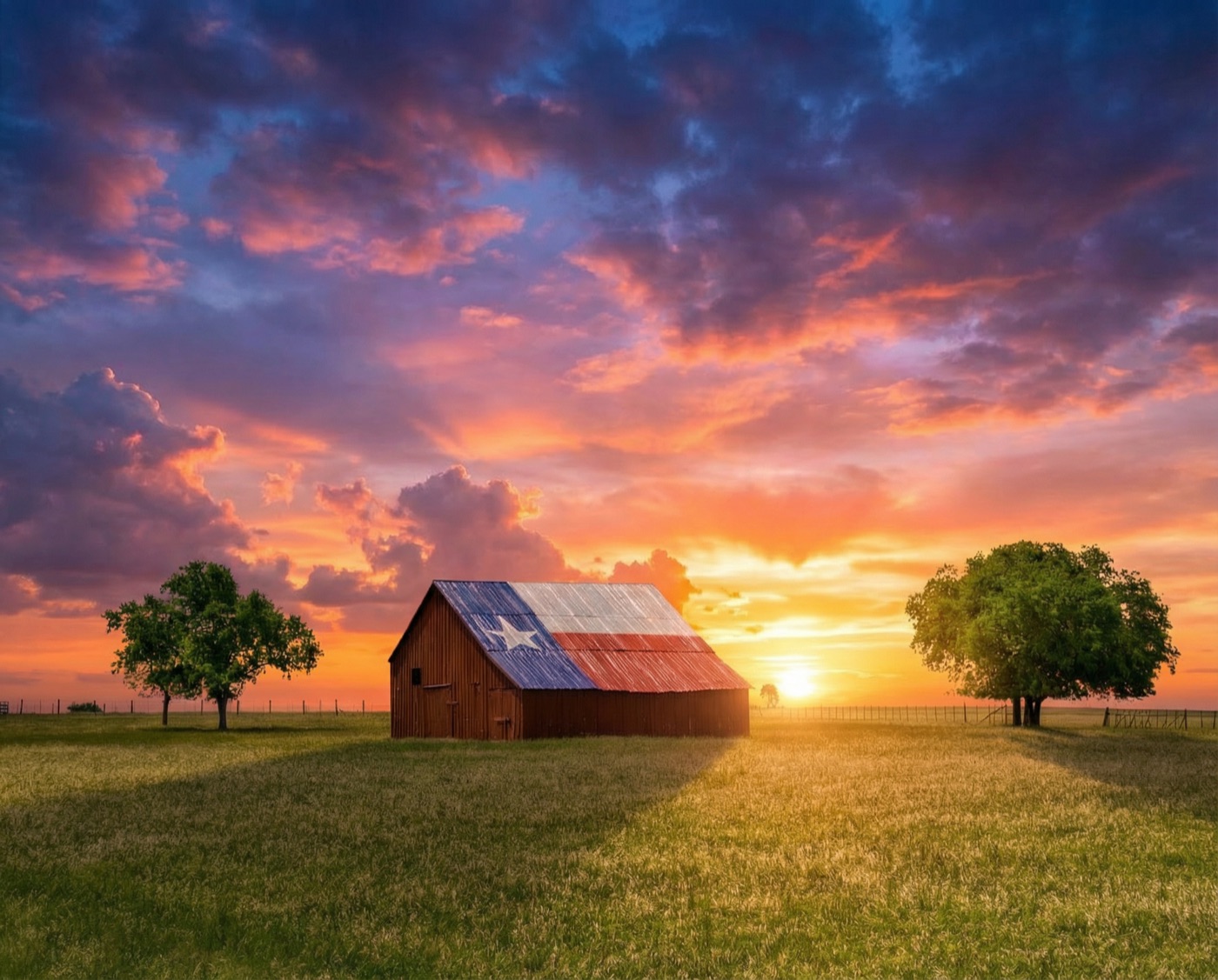
Cattle operations and working ranches have infrastructure that buyers need to evaluate: pens, water systems, cross-fencing, perimeter fencing condition, pasture layout, and access to each pasture division. Aerial footage documents all of this in context. Buyers can see how the operation flows before they spend half a day walking it with a broker.
Recreational and Dry Land
Raw acreage and recreational tracts sell primarily on visual appeal - the beauty of the terrain, the privacy the land affords, the sense of scale. Aerial photography and video capture all of this in a way that justifies asking price to buyers who haven't yet seen it in person.
Agricultural Acreage
Row crop land, irrigated fields, and dryland farming operations benefit from aerial imagery that shows field layout, pivot coverage, soil variation, and drainage patterns - information that farm buyers use to evaluate productivity potential before making an offer.
Aerial Video: The Walk-Through for Land Listings
The same way interior video walk-throughs help buyers connect with a home, cinematic drone video helps buyers connect with land. A well-edited aerial video - a slow fly-over of the improvements, a pass down the creek bottom, a wide shot establishing the full boundary - creates an emotional response that still photography alone cannot. It lets a buyer visualize themselves on the property before the first phone call.
For listings on platforms like LandWatch, Lands of Texas, and the MLS, video content drives dramatically higher engagement than photo-only listings. In a competitive market for quality West Texas land, that engagement advantage translates directly to more qualified inquiries and faster closings.
What a Land Drone Shoot Delivers
- High-altitude overview images showing the full property boundary
- Mid-altitude passes over key features: water, improvements, terrain
- Detail shots of tanks, pens, barns, gates, and fencing
- Cinematic video footage edited for listing use
- GPS-tagged imagery for mapping overlays
- Orthomosaic map of the property for brochures and marketing materials
Working With Land Brokers Across the Concho Valley
We work regularly with land brokers and real estate agents listing acreage throughout Tom Green, Concho, Menard, Sutton, Kimble, and surrounding counties. Whether you're listing a 200-acre deer lease or a 5,000-acre working ranch, we can schedule a shoot that works around weather and access, and turn around delivery-ready imagery within 48 hours.
All flights are FAA Part 107 certified and covered by commercial aviation insurance. We carry the documentation your broker or title company may require for transaction files.
Ready to list your land?
Schedule a Land Aerial Shoot
Concho Valley Aerial Solutions - San Angelo, Texas. Serving ranch and acreage listings across West Texas.
Request a Quote