Professional Drone Services
in San Angelo & West Texas
Comprehensive FAA-certified aerial solutions for real estate, industry, and infrastructure across the Concho Valley and beyond.
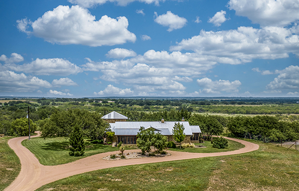
Photography & Videography
Stunning aerial photographs and cinematic video that make real estate listings, marketing materials, and event coverage stand out. Our professional-grade drones and experienced pilot ensure high-quality results every time.
- Real estate photography & video for faster sales
- Commercial property & development marketing
- Event and venue coverage
- Landscape and scenic photography
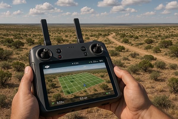
Aerial Mapping & Photogrammetry
High-precision aerial mapping and photogrammetry services for land development, construction planning, and infrastructure projects. We deliver accurate orthomosaic maps, digital elevation models, point clouds, and contour data ready for GIS and CAD integration.
- High-resolution orthomosaic maps
- Digital elevation & contour models
- Point cloud generation
- Volumetric calculations for earthwork
- As-built documentation
- Land development planning
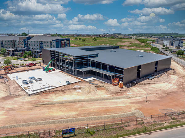
Construction Monitoring
Regular aerial documentation keeps your construction project on track. We provide progress reports, volumetric data, and visual records that keep clients, contractors, and stakeholders informed at every stage.
- Regular progress documentation flights
- Stockpile & volumetric measurements
- Site safety & compliance overviews
- Time-lapse video production
- Before/after comparison imagery
Request a Free Quote
Tell us about your project and we'll get back to you with a detailed quote. Serving San Angelo and all of West Texas.